‘Bye, balmy Boise-area days. ‘Bye, inversions. Hi, cold and snow. What’s coming
AI-generated summary reviewed by our newsroom.
- Cold front brings snow and strong winds to Southwest Idaho starting Monday night.
- Mountains expect 2–12 inches; Treasure Valley may see under an inch, slick roads possible.
- Boise has had little snow this season; storm comes as unpopular inversions end.
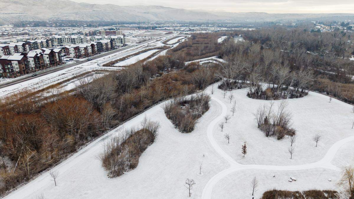
Snow and strong winds were on track to reach Southwest Idaho on Monday night and Tuesday morning, forecasters said Monday. Even, possibly, to Boise and the rest of the Treasure Valley’s floor.
The National Weather Service in Boise said a cold front moving into Idaho from the Pacific Coast and into Washington and Oregon would bring an end to our balmy days of late — and perhaps to the rain that began falling in the Boise area Monday afternoon.
The Weather Service issued a winter weather advisory for 12 hours, from 8 p.m. Monday until 8 a.m. Tuesday MST, for the Boise, Owyhee and West Central mountains, along with Owyhee County’s highlands and southern Malheur County in Eastern Oregon.
Forecasters said breezes with gusts from 25 mph to 30 mph early Tuesday would precede the cold.
“There’s going to be quite a bit of wind from Boise to the Twin Falls area,” Weather Service Meteorologist Korry Anderson told the Idaho Statesman.
Two to 6 inches of snow will then fall in the mountains, with 6 to 12 inches above 6,000 feet, the Weather Service said. That’s good news for Bogus Basin, where skiing has suffered because of low snow.
One to 3 inches was forecast in far Southwest Idaho and Southeast Oregon.
Less than an inch is forecast elsewhere, including the Treasure Valley. “We could get up to half an inch” early Tuesday, Anderson said by phone. Some low-lying areas could see only a dusting. Little or no snow accumulation is expected.
Up to half an inch more could fall in the Boise area Tuesday night, and another half inch Wednesday. Forecasters said snow could continue falling through Friday morning, with the potential for an additional 6 to 10 inches in the mountains, Anderson said.
“We’ll have snow showers around the area, especially in the afternoon,” Anderson said. Some could produce thunder, lightning and graupel — the soft white pellets that form when supercooled water freezes into snowflakes as it falls — “because the air’s so cold aloft,” he said.
Seven-tenths of an inch of snow so far. Normal: 17.7 inches
A mere seven-tenths of an inch of snow has fallen in Boise since Oct. 1, compared with the normal 17.7 inches, Anderson said. (That average is based on 30 years from 1990 to 2020. The average since records began in 1899 is 21.5 inches.) The record lowest snowfall for an entire October-through-May water season is 1.1 inches in 1933-34, he said.
Roads may be slick, so be ready or winter driving conditions, the Weather Service said. Hazardous travel conditions are possible, especially on Tuesday in the western Magic Valley, where wind gusts could reach 45 mph. In the Boise area, roads might just get wet. Check road conditions at 511.idaho.gov or tripcheck.com.
As for temperatures? Say goodbye to warmth and shorts. We’ll feel like it’s winter again. Monday’s projected high of 58 degrees will give way to Tuesday’s high of 44, a 14-degree drop, forecasters predicted. The high will drop again, by 6 degrees, on Wednesday, and then stay put at 38 or 39 through Friday. Lows were forecast to be 29 early Tuesday and 24 or 25 through Saturday morning.
Boise’s unpopular inversion season ends
The storm is arriving just as the Treasure Valley’s yearly inversion season comes to a close.
An inversion is when cold air is held close to the ground by a layer of warm air. The result is a reverse of the normal cooling of air as elevations increase. Temperatures at Bogus Basin, elevation 7,600 feet, end up higher than in Boise, elevation 2,700 feet.
During an inversion, you can look out from Bogus at the clear blue sky above the blanket of low clouds covering the Treasure Valley. From the Valley, all you see much of the time is gray sky. Pollutants build as the air doesn’t move and the air-quality index numbers rise. As the Statesman reported, an inversion blocked Valley residents’ view of the Northern Lights on Jan. 19. Inversions rank among the least-popular features of life in Boise.
But inversions end when the ground warms up enough to restore normal elevation cooling — and that happens when the sun rises high enough to warm it. In Boise, that’s on or about Valentine’s Day, Feb. 14, each year.
“It should be improving a lot over the next several days,” Anderson said.
This story was originally published February 16, 2026 at 2:15 PM.