Thunderstorms with rain, hail, strong wind could pop up in Boise area. See when
Thunder and lightning are expected to roll through Boise as blistering heat lingers in the Treasure Valley.
“We’re going to see some thunderstorms, gusty winds (and) some brief heavy rains” on Thursday, David Groenert, a Boise meteorologist with the National Weather Service, told the Idaho Statesman via phone.
The temperature is expected to climb as winds pick up.
Here’s what to know:
How high will the temperature get in Boise?
The National Weather Service issued a heat advisory for portions of southwest Idaho and southeast Oregon.
That includes the cities of Boise, Caldwell and Nampa.
Temperatures up to 103 degrees are expected.
“Hot temperatures may cause heat illnesses, especially for the young, elderly and animals,” the weather service said in its advisory.
The heat advisory will remain in effect until 9 p.m. Thursday.
How long is the extreme heat going to last?
According to the National Weather Service’s forecast for Boise, high temperatures could remain at or above 100 until early next week.
At that point, highs should dip into the high 90s.
“Even if we don’t have a heat advisory out, it’s going to be still quite hot,” Groenert said.
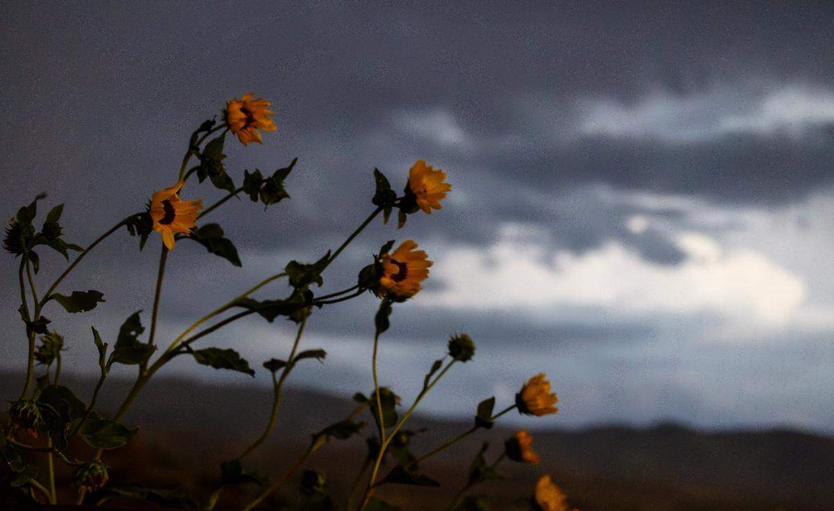
What are chances for thunderstorms in Boise?
There was a 20% chance of thunderstorms and showers in the Boise area on Thursday, according to the weather service’s most up-to-date forecast.
The temperature will shoot into the low 100s before dropping to 66 during at night, the weather service said.
Strong wind gusts will be the main source of concern for Treasure Valley residents, Groenert told the Statesman.
Wind speeds are expected to reach 40 to 60 mph in some areas.
Rainfall from storm activity is expected to be “highly localized,” the meteorologist said.
Showers could drop a quarter-inch to a half-inch of precipitation, according to the weather service.
“We are expecting scattered thunderstorm coverage today, with the primary concerns being outflow wind gusts around 50 mph, brief excessive rainfall and small hail,” the National Weather Service office in Boise said in a Thursday post on X. “Thunderstorms will form over the higher terrain of Idaho this afternoon and move north/northeast over time.”
Are more rain showers on the way?
The forecast calls for a 20% chance of thunderstorms and rain on Friday, July 17, as well.
Friday will have a high near 100 and a low around 66.
“The weekend does dry out at least here in the Treasure Valley a little bit,” Groenert said. “Then it comes back next week. The monsoon returns.”
As high temperatures begin to dip on Monday, July 20, the chance for rain and thunderstorms returns.
“By midweek, a Pacific low-pressure system will move into the region, bringing a slight cooling trend and showers/thunderstorms over most of the state,” the National Weather Service said in its most recent Idaho state forecast discussion.
What’s in the weekend weather forecast for Boise?
On Saturday, the high will jump up to 100 while the low will drop to 65, according to the National Weather Service’s latest forecast.
Sunday will have a high near 101 and a low around 66, while Monday will see a high near 102 and a low around 68.
Overnight lows will remain in the upper 60s for the remainder of the week.
Rain clouds are expected to move back into town Monday night, when there’s a 20% chance of precipitation.
Tuesday will also have a 20% chance of precipitation, with a high of 99 and a low of 67.
Wednesday should see a high of 98 with a 30% chance of showers and thunderstorms.
This story was originally published July 16, 2026 at 1:45 PM.