
Canadian company buys land from Little’s family for central Idaho gold-mine operations
A company controlled by the family of Gov. Brad Little was paid $212,500 by Midas Gold in 2016 for 25 acres in Valley County.
The land, located about 8.5 miles east of Idaho 55 near Cascade, was formerly owned by Little Enterprises, which the governor owns with his wife, Teresa, and their two children, Adam Little of Boise and David Little of Emmett.
Money from the sale was not paid to the partners in the company but was used to buy grazing lands in Gem County, said Marissa Morrison Hyer, Little’s press secretary.
The sale occurred when Little was lieutenant governor under former Idaho Gov. Butch Otter.
Midas, a Canadian company, is developing the Stibnite Gold Project, an open-pit gold mine proposed for operation about 40 miles east of McCall near Yellow Pine. Midas says the mines will create an average of 500 jobs for up to 25 years.
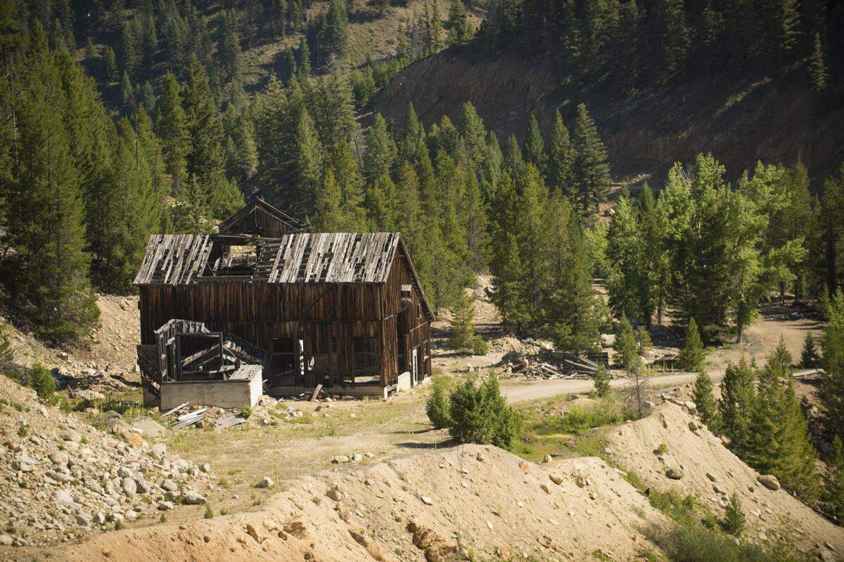
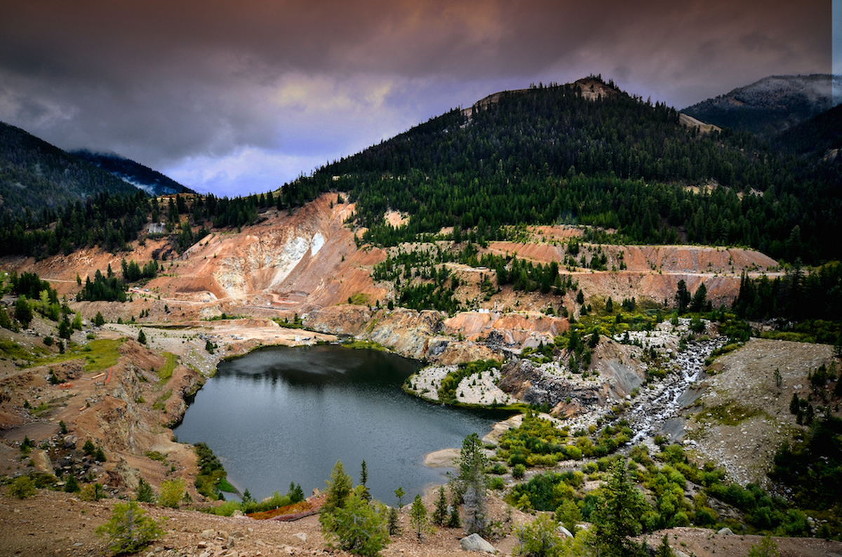
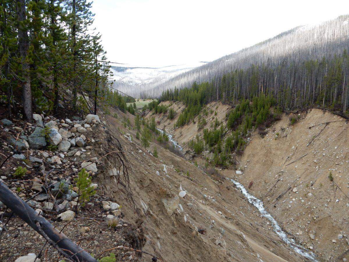
Mining in the area dates back more than a century and has resulted in two open pits, including one that has been blocking a salmon spawning stream since the 1930s. The site also has extensive tailings left from mining operations that are the source of elevated levels of arsenic.
Previous mining companies walked away, leaving cleanup to U.S. taxpayers. The U.S. Environmental Protection Agency has spent about $4 million since the 1990s restoring habitat.
Midas Gold plans to do additional mining in the two open pits and to create a third open pit. The work would roughly double the size of the disturbed mining area to about 2,000 acres and eliminate some previous reclamation work.
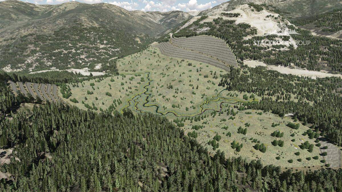
Midas Gold’s plan includes cleaning up tailings by capturing gold with new technologies. Ultimately, the company says, it will restore much of the area when mining is finished.
Midas says the Stibnite Mining District contains more than 4 million ounces of gold and more than 100 million pounds of antimony. Antimony is used in lead for storage batteries as well as a flame retardant. The U.S. lists antimony as one of 35 mineral commodities critical to the economic and national security of the country.
Little does not have any financial ties to Midas Gold, and the land sale does not constitute a conflict of interest, Morrison Hyer said.
“That said, the governor has always been an advocate for transparency in government and will disclose this transaction should an issue regarding Midas Gold come before the State Land Board,” Morrison Hyer said.
If a matter related to Midas Gold goes before the State Land Board, which is chaired by Little, he would be required to disclose the 2016 sale in a written statement filed to Secretary of State Lawerence Denney if a conflict exists, according to the ethics law.
The 25-acre parcel was one of multiple parcels along Warm Lake Road that Midas Gold considered buying for a planned logistics center, said Midas spokesperson Natalie Podgorski in Boise.
After negotiations over a different site fell through, “the only other parcel of land that met all of our criteria for the logistics facility was owned by Little Enterprises,” Podgorski said. She said the sale was negotiated solely through David Little.
The price of $212,500 was agreed upon after an independent market survey of the comparable land sales and listings, she said.
The Valley County Planning and Zoning Commission approved the construction of the center facility on July 16 on a 3-1 vote.
The center would be used as a staging area and parking area for employees working at the mine, who would be shuttled to the site by bus, said Kyle Fend, Midas’ field operations manager. Plans show 300 parking spaces, a truck staging area and an area for larger equipment.
Buildings would provide an office and laboratory, a warehouse, hazardous materials storage, and core sampling and storage.
The Associated Press and the Idaho Statesman contributed.